Save up to $500 on Surface Pro 9

Save up to $500 on Surface Laptop 5
Sophisticated style and multitasking speed powered by 12th Gen Intel® Core. Offer ends 6/30.
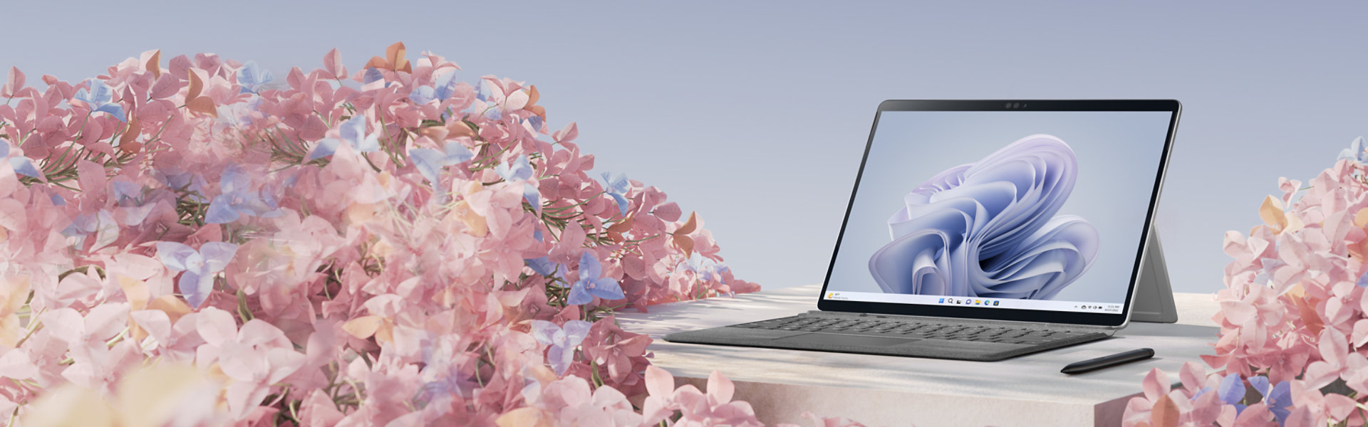
Surface Laptop Studio 2
Cutting-edge design meets incredible performance in this versatile laptop for creativity and entertainment.
Maximize the everyday with Microsoft 365
Get online protection, secure cloud storage, and innovative apps designed to fit your needs—all in one plan.

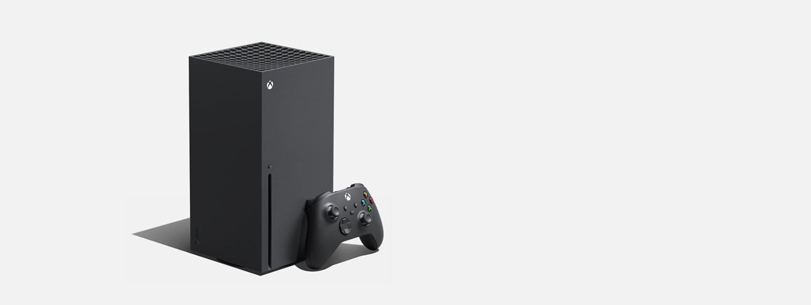
Elevate your game
Wield the power of fire in your hands with the Xbox Wireless Controller - Fire Vapor Special Edition.
For business

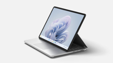
Surface Laptop 6 for Business
Get exceptional power, better performance, and AI-powered tools all in a 13.5-inch or 15-inch design.

Windows 11 for business
Designed for hybrid work. Powerful for employees. Consistent for IT. Secure for all.
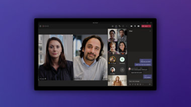
Get Microsoft Teams for free
Online meetings, chat, and shared cloud storage—all in one place.
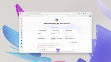
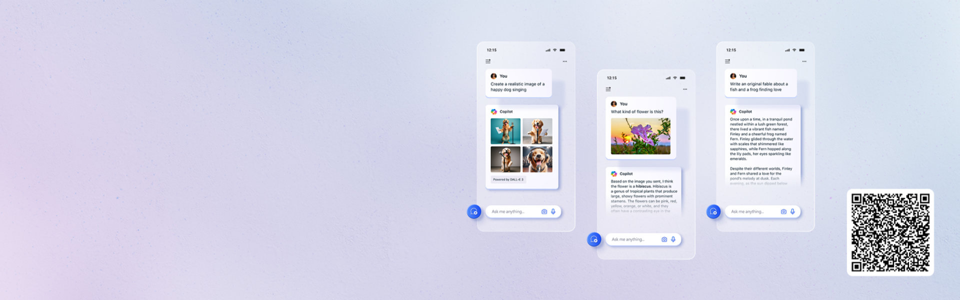
Copilot for Microsoft 365
Save time and focus on the things that matter most with AI in Microsoft 365 for business.
Explore more about AI and Copilot

10 AI terms everyone should know
Machine learning is impacting many parts of modern life. We’ve broken down some of the key buzzwords.

Get creative with Copilot
From baking to business marketing, here’s a look at nine clever ways people are tackling their days with AI.

The art of inclusion
Copilot is serving the blind and low-vision community by creating greater access to the Rijksmuseum’s collection.